
Stereo 3D Cloud Motion from Tandem Satellites #SWI2023
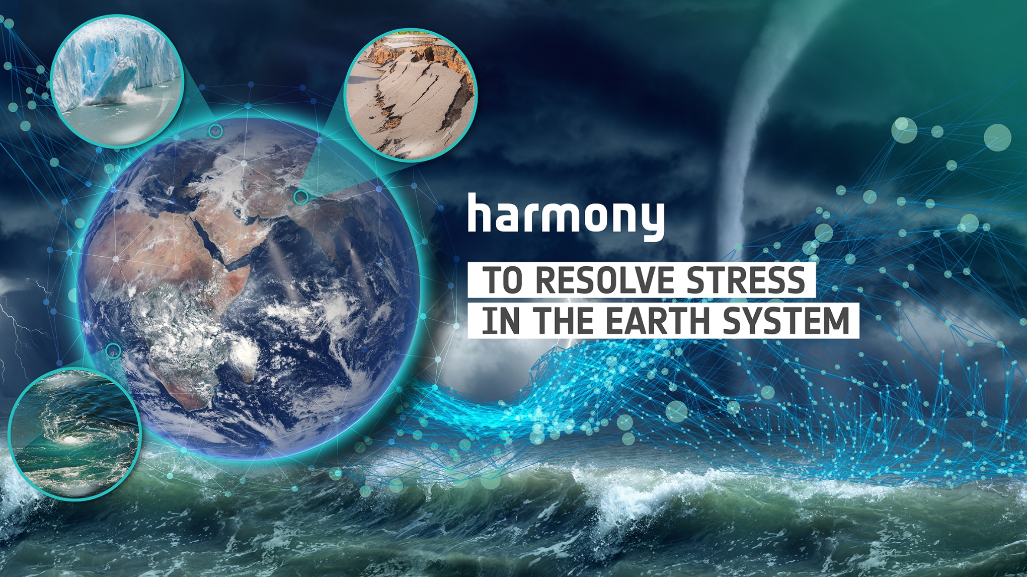
Harmony
The European Space Agency has recently selected the Harmony mission to be implemented
as the 10th Earth Explorer mission . Earth Explorers are innovative research missions, aiming to advance our knowledge of the Earth System.
One of the main scientific objectives of Harmony is to resolve physical processes in the marine atmospheric boundary layer at high resolution – at scales of about 1 km or less – and this for the very first time. It is well recognised that high-resolution data are crucially needed if we are to better parameterise climate models. In particular, a better understanding of cloud processes is required. Indeed, those small-scale processes do have a strong impact on the larger scales, are notably a major source of uncertainty regarding the Earth’s Radiation Budget and remain poorly understood to date, precisely due to the lack of resolving observational data.
Using thermal infrared for cloud boundary and cloud motion detection
The Earth Explorer Harmony mission comprises two identical satellites orbiting Earth in convoy with a Copernicus Sentinel-1 satellite. Each Harmony satellite carries a receive-only synthetic aperture radar and a multiview thermal-infrared instrument. On board of each of the two Harmony satellites, there will be a side-looking 5-camera thermal infrared payload, looking at different angles (fore to aft). For clouds, the idea is to exploit the stereo views as the two Harmony satellites — which fly roughly 100 seconds apart — pass along a given scene. Exploiting the simultaneous views and the parallax, 3D cloud information could then be extracted, providing both 3D motions and 3D positions of cloud boundaries over time.
The Challenge
Highly sophisticated end-to-end simulators have been developed for Harmony, and have been instrumental to the mission selection. For the infrared part of the mission, the most realistic scene considered comes from a cloud-resolving simulation. While heritage methods to retrieve cloud motion from multiple views do exist and have been used so far, there is a strong interest from the Harmony team in new approaches, especially those able to accurately reconstruct the 3D image of cloud boundary positions and motions from the 2D images.
More General Information about the Harmony Mission
- Harmony flyer
- FutureEO flyer